Grade 3 · Unit 8: Wonderful world
Information on screen
Bullet points, charts and buttons.
Read the web page
Read this page from a children’s geography website.
Kids Geo: Amazing mountains
by InquiryMind
[Home] [Mountains] [Rivers] [Quiz]
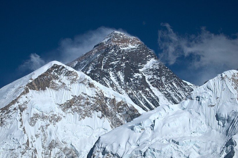
Mount Everest
• Height: 8,849 metres
• Where: on the border of Nepal and China
• First climbed: 1953 by Tenzing Norgay and Edmund Hillary
Did you know? The air at the top has only about one third as much oxygen as at sea level.
▶ Video: A day at Base Camp
Mount Everest is the highest mountain above sea level.
How it is set out
Bullet points break facts into small pieces. Menus and links help you move around a website. Bold headings tell you what each part is about.
Layout helps us find facts quickly.
Record facts in a chart
Record information from what you read in a chart. Use columns for the same kind of fact. Charts make it easy to compare.
A chart keeps facts organised.
Your turn: Which mountain in the chart is in Bangladesh?
Key words
- bullet points
- Short items in a list, each starting with a dot.
- chart
- Information set out in rows and columns.
- record
- Write down information to keep it.
Activity: Mountain fact chart
You need: a children’s website or book, a chart
- With an adult, find facts about three mountains or rivers.
- Record them in a chart with three columns.
- Write two sentences comparing them.
- Share one surprising fact.
Think and talk
- Why do websites use bullet points?
- Is a video or a text better for learning facts? Why?
- What did your chart help you notice?
What I learnt
- I can explain how information is set out on a page and a screen.
- I can record information in a chart.